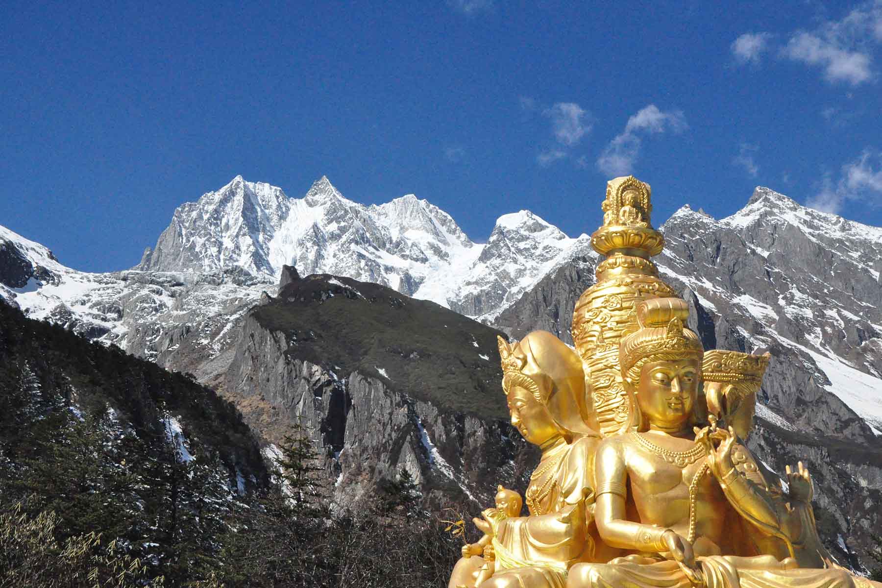
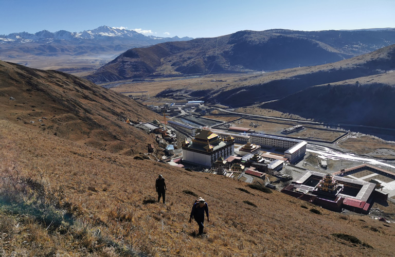
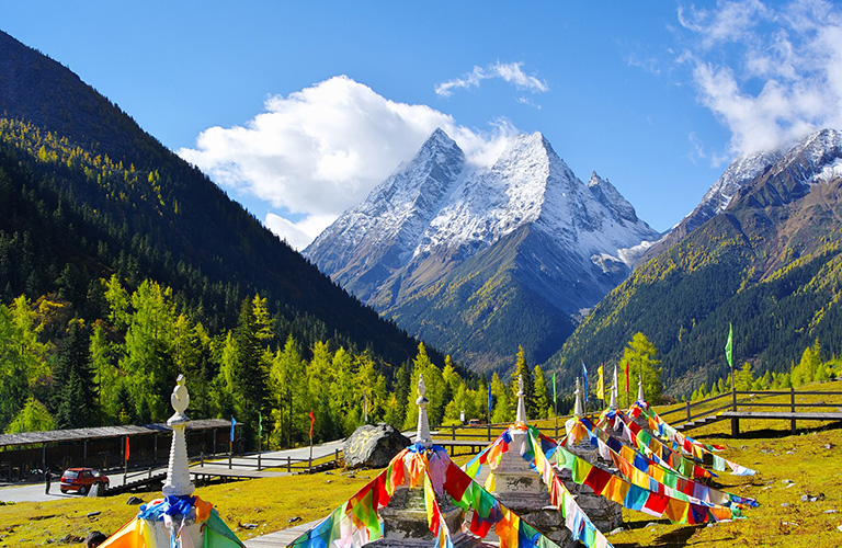
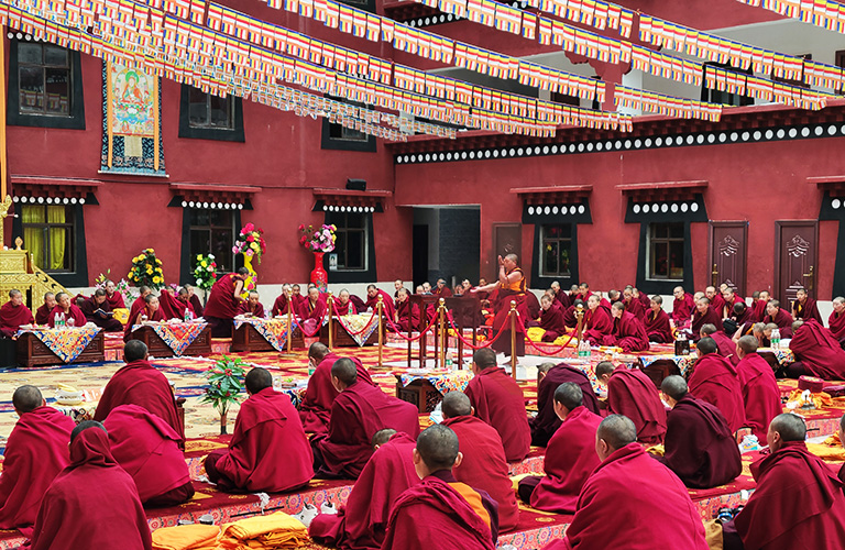
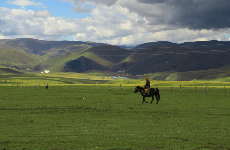
Tagong is a hidden gem of Sichuan. With easy access by both flight and car, it is within one day's time to get to and it is an authentic Kham Tibetan place that nowadays difficult to expect. For some Tagong is still far. And for many Tagong is nowhere. Hiking becomes one of the most popular way to see Tagong although you can also just drive around or hire a horse to ride around to see everything. The landscape in Tagong is rolling grassland that you barely see trees. This provides travelers to hike or even trail-run at this place. A hiking trip connects the monasteries, villages, nomads people and local Buddhist Schools. For people prefer more comfortable and people who have limted time traveling, this way of traveling may not be your best choice though.
Where Can I Hike?

Avoid river and streams, you are free to go hike anywhere because Tagong is rolling grassland you can basically walk anywhere you like. Although here we have summerized some of the best hiking route in/around Tagong that connects the major spots and places of interests in Tagong.
A. From Tagong Monastery to Anigongma Stone Pile/Nunnery Hiking - Half Day

This walk is total 9km from 3800m to 4100m and then drop down to 3800m and then up to 3900m. Hike starts by Tagong Monastery and walk on the ridgeline by the Tagong Tourist Stop then up to the top of the hill before drop down to Xiamalong, 1km walking on the road before turn to Sequka then Muya Grand Buddhist School, then another 1km northwards to Anigongma to the Stone Pile. Total time may cost up to one day because there are some stops you make to appreciate the local temples, Buddhist schools and villages. After the hike you need a car to pick you up from Anigongma back to Tagong.
B. Tagong West Ridgeline Walking - 1 Day

Start also from Tagong Monastery and walk across the big bridge and turn right to the Buddhist school and walk up towards the ridgeline behind the school. As flexible as it can be the walking on this ridgeline are as long as over 20km and can turn back to where Tagong is. Once you get up the ridgeline, it's not that challenging anymore but up here is windy usually. These ridhelines are good places to do trail-running.
C. Anigongma to Dola Gamo Hiking - 1 Day
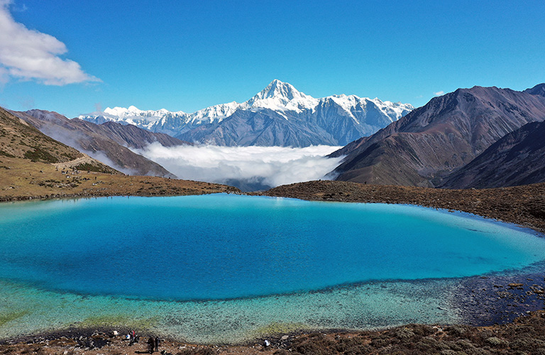
D. Yari Ayu Lake Circuit Hiking
What the Terrains are Like?
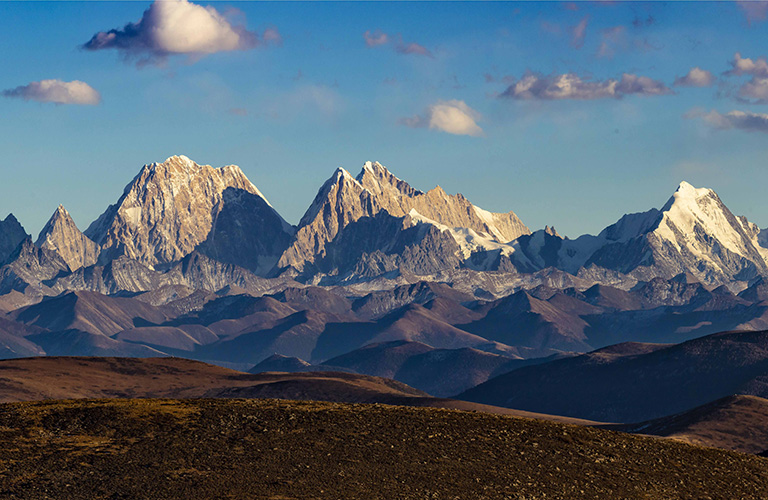
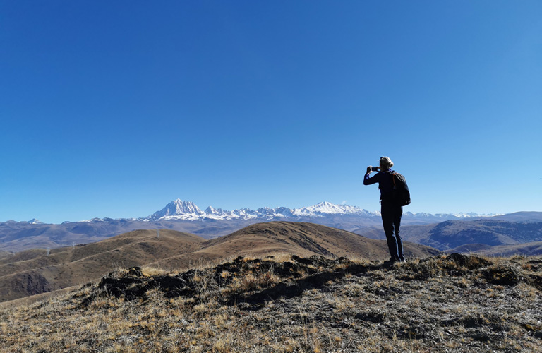
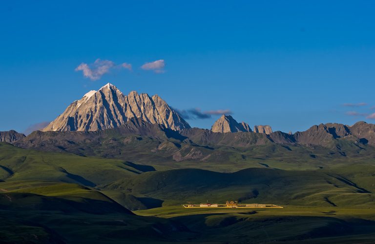
For Tagong Hiking, we recommend you to follow no trails nor signs, just use a map and go. Avoid rivers and try to use the ridgeline because you don't want to go all the way down to the valley and then come up again, which can be strenuous and ruin any hiking. The rolling land of Tagong provides one of the nicest hikings here and you don't even need navigations once you get on the ridgeline because you can always see Mount Yala and you know where you are. The slopes of the hills can be steep but basically managable when you were the right shoes.

Necessary gears to bring while hiking include sunglasses, rainproof, hiking boots, walking poles, day packs, drinking water and food.
High Altitude of Tagong
At Tagong the altitude is at around 3800m. At Kangding Airport it is at around 4300m. At Kangding the altitude is at around 2600m. AMS is possible and can be risky if you are not acclimatized. Where your hotel is the elevation is at around 3800 meters. The whole Tagong has this altitude but if you walk higher the altitude can be around 4000 meters.
We recommend you to take precautions before/while traveling in Tagong:
First time travelers to this place or even experienced travelers all have the risk of getting AMS due to change of altitude/Temperature and air pressure. Acclimatization is necessary and precautions are essential. Precautions for avoiding altitude sickness include the following tip.
Drink more water than you normally need everyday;
Keep your warm clothes handy to avoid getting cold due to elevation/temperature/pressure change;
Eat properly (no alcohol and be careful of local street food) and have enough time to sleep;
Do not stress yourself both physically and mentally;
A little physical preparation prior to traveling to high altitude places is necessary;
Prepare medication for AMS, cold and diaries.
Travel Journal - Exploring Around Tagong