Chengdu
Pandas' Hometown
Jiuzhaigou
Famous Fairyland
Emeishan
Sacred Buddhist Site
Leshan
Giant Buddha
Gonggashan
Best for Hiking
Daocheng Yading
Shangri La Views
Dujiangyan
Irrigation System
Siguniangshan
Eastern Alps
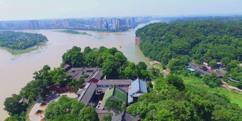
Leshan City is located in the transition zone from the Sichuan Basin to the southwestern mountainous area. The overall elevation trend is high in the southwest, low in the northeast, and the gap is very large. The highest point is the main peak of Ma'anshan in Yibian Yi Autonomous County, with an elevation of 4,288 meters. The lowest point is the Machangba Hanjiang exit of Xinmin Town, Qianwei County, with an altitude of 307 meters. The average elevation of whole Leshan is 500 meters, and an elevation of Leshan City is of 360 meters. The mountainous area is 8,530 square kilometers, accounting for 66.5% of Leshan’s total area, mainly distributed in the southwestern part of the city's Emei Mountain, Yubian, Jinkou River, Mabian and Muchuan. It is the transition zone between the Liangshan Plateau and the Sichuan Basin. The hilly area is 2,694 square kilometers, accounting for 21% of the area of Leshan City, mainly distributed in Emei Mountain. The northeastern part of Muchuan is a red hilly area formed by long-term ablation. The valley plain covers an area of 1,603 square kilometers, accounting for 12.5% of the city's total area, mainly distributed along the banks of the Lancang River, Dadu River and Qingyi River.

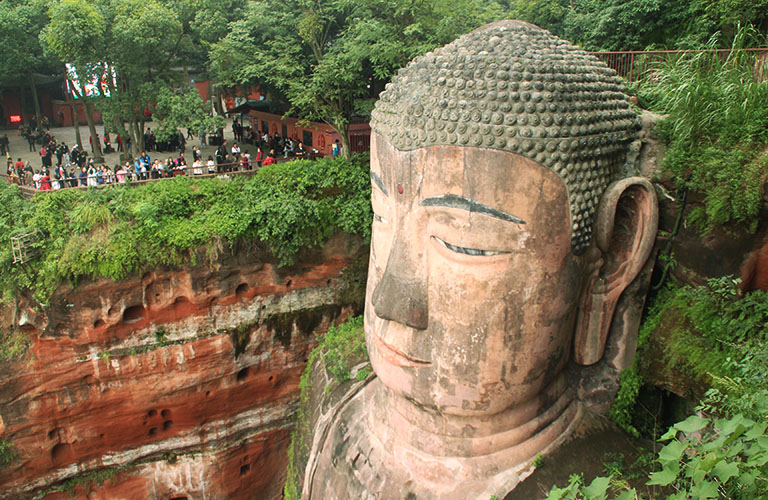
The altitude of Leshan Giant Buddha is 500 meters above sea level.

Route: Chengdu - Leshan - Chengdu

Route: Chengdu - Leshan - Mt. Emei - Chengdu

Route: Chengdu - Leshan - Emeishan - Chengdu