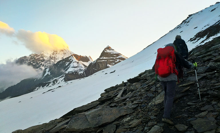
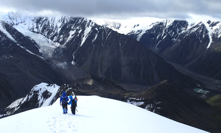
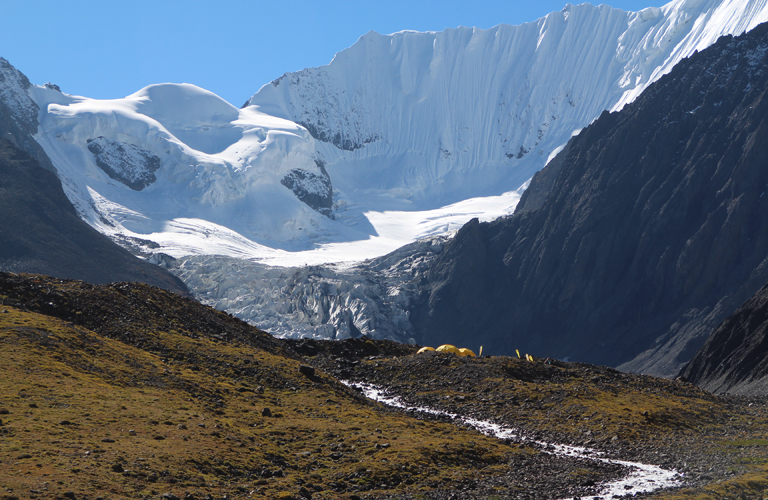
Mount Siguniang is part of Qionglaishan Range in eastern Tibetan Plateau and also considered to be part of Hengduan Shan Range. Mount Siguniang is also the name of the highest peak, locally known as Yaomei Feng (the youngest sister of the four sisters: Siguniang). Mount Siguniang is by far the biggest mountain near a 10 million population city Chengdu. The highest mountain in Siguniang Shan Range is Yaomei Feng (Mount Siguniang), with a height of 6250 meters above sea level, being the second highest mountain (separated range) after Mount Gongga (7556 m) in Sichuan Province. Mount Siguniang is known for its four sister mountains however this place is home to several dozens of 5000+ meters mountains including Mt. Pomiu (Mt. Celestial), Mt. Camel, Mt. Chibu, Mt. Daogou, Mt. Dahuang, Mt. Banji, Mt. Potala, Mt. Hunter, Mt. Wildman, Mt. Ser’erdengpu, Mt. Goromity, Mt. Abi, etc.

Mount Siguniang is very easy to get to. Chengdu, the capital city of Sichuan, is the city where people usually get to first before go to Mt. Siguniang. Road is at present the only way to get to Mt. Siguniang. By driving it is only 4 hours’ time and the distance has been shortened to 200km after the new road built in 2016. The drive from Chengdu will pass the former earthquake-hit zones of Yingxiu and Wolong, which are also the nature habitat of giant pandas in China. Mount Siguniang is usually considered to be the big mountain that are very close to a big city, that within 4 hours of drive, one gets from humid Chengdu to the chilling and dry mountains.
Mount Siguniang Massif usually include the valleys at its south and north including what’s been called Lixian. The valleys to the mountains in the south are called (from east to west) Haizigou Valley, Changpinggou Valley, Shuangqiaogou Valley and Mu’erzhaigou Valley. From its north there are (from east to west) Bipenggou Valley, Hongxinggou Valley, Hongxinggou Valley and Suoluogou Valley. The normally known Siguniangshan Park includes Haizigou, Changpinggou and Shuangqiaogou are the protected areas that require entrance fees and also are the popular tourists and hikers places. The northern valleys except Bipenggou are less explored and in the south valleys, many side valleys are also unknown to the world.
The road from Chengdu can reach both north and south of Mount Siguniang Massif within half days’ time. Both ways will involve walking and possibly into the parks. However, the walking is not very long as it is not very far (within 30km) from the road. The road terminal at south of Mount Siguniang is called Rilong Town, which is now called Mount Siguniang Town, which is rather like a village than a town. But Rilong is getting bigger and bigger due to more tourists pouring in. At its north the town is called Lixian or at a closer place to the Bipenggou Park, Putou Village, where you can also find accommodations and shops, it was also due to the tourists visits.

Climbing season in Mount Siguniang Region has longer span mainly from April to November. But it is exclusive to certain mountains such as Dafeng and Erfeng. With Dafeng has now getting very popular in China, people do it all year round. Erfeng is normally from April to December and Sanfeng is recommended to do it from May to November or even shorter. The technical mountains in Siguniangshan will also require drier weather in spring or fall but depends on the year, some people try Yaomei Feng in summer as well. Mount Siguniang has the most rain in June, July, September according to the records but it may still differ in different years for example the winter/late fall of 2016 in Mount Siguniang is very dry but the next spring is very wet. At the base of Mount Siguniang at Rilong Town, the weather pattern is shown as below.
Mt. Siguniang (Yaomei Feng), 6250m, the highest peak in this range. It shares the same name of the range. It is located between Haizi Valley and Changping Valley.

San Feng (3rd sister) and Er Feng (2nd sister), Da Feng (the oldest sister)

Mt. Pomiu Feng (Mt. Celestial)

Mt. Daogou (East and West)

Mt. Yangmantai and Mt. Camel (east and west)

Mt. Xuanwu Feng,.

Mt. Laoyingyan

Mt. Yanggangzi is the side peak of Yaomei Feng, it is about 5900 meters. North to it is the 5700 meters unnamed mountain and another two unclimbed mountains.

Mt. Chibu

Mt. Jiandu

Mt. Hunterman and Mt. Jianzishan

Mt. Wildman (Se’er Dengpu)

Mt. Abi, the grandma

Mt. Yutufeng

Mountains in Jiesi Valley


Route: Chengdu - Mt.Siguniang - Chengdu

Route: Chengdu - Gongga - Chengdu

Route: Chengdu - Gongga - Chengdu